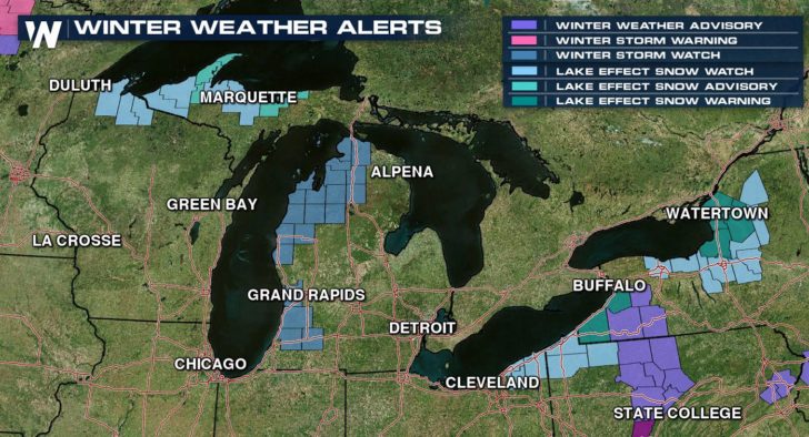
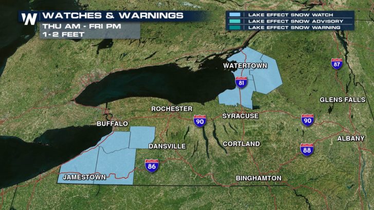
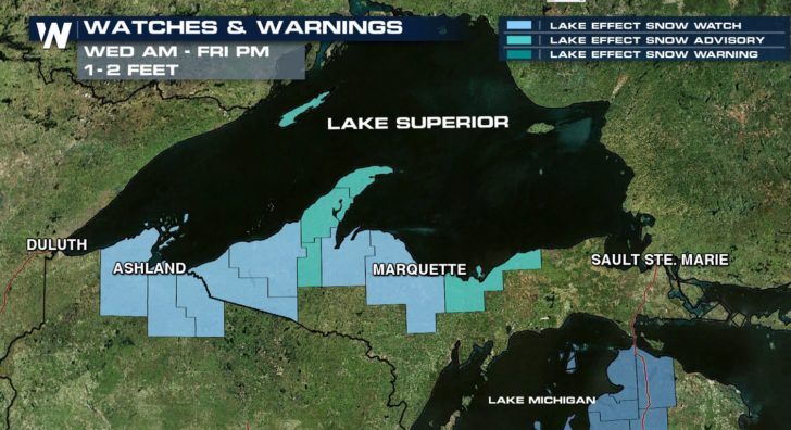
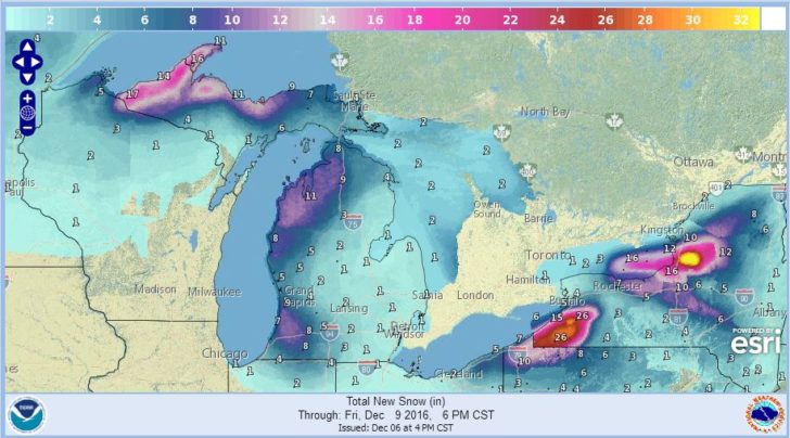
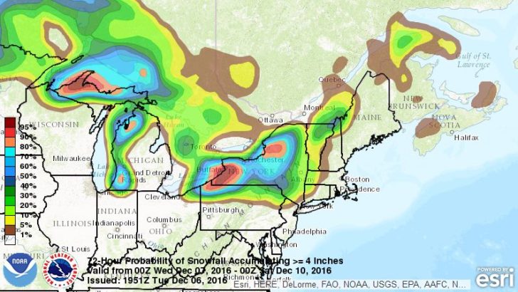
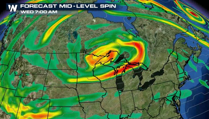
A round of lake effect snow will be developing over the next several days around the Great Lakes. Totals will likely climb over a foot in areas of Upstate New York, Northern Lower Michigan, and Western Upper Michigan. Several winter weather advisories and watches have been issued ahead of the development.
Travel plans during #LakeEffect snow? Here's a rundown when/where to expect winter driving conditions #WNY. Have a winter wx emergency kit! pic.twitter.com/QrSKhCE4DG
— NWS Buffalo (@NWSBUFFALO) December 6, 2016
Intensifying lake effect snow. pic.twitter.com/3kVu7gcplG
— NWS Gaylord (@NWSGaylord) December 6, 2016
The lake effect snow belts downstream from Lake Superior in Western Upper Michigan, Lake Michigan in Northern Michigan, and in New York near Lake Erie and Ontario will have the highest totals.
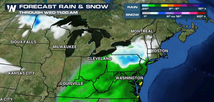
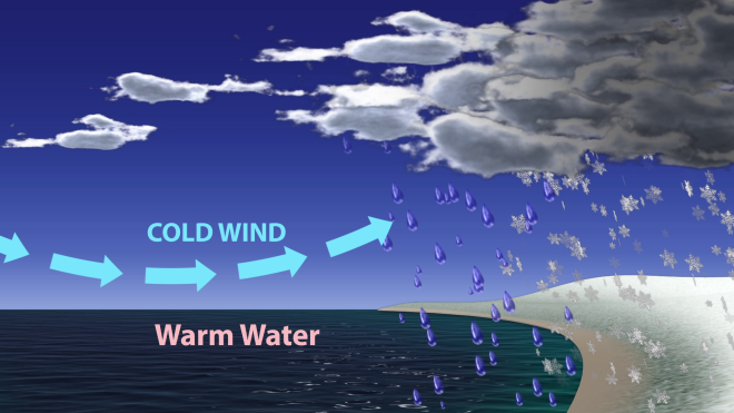
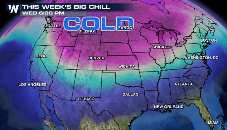
Cold air will start to drop across the Great Lakes over the next several days. Lake water temperatures are relatively warm, in the 40s. Air temperatures at cloud level will significantly colder, in the single digits. The nearly 40 degree temperature difference will create the clouds and heavy snow. Upper level energy will help to sustain cloud and snow development.
For WeatherNation: Meteorologist Mace Michaels