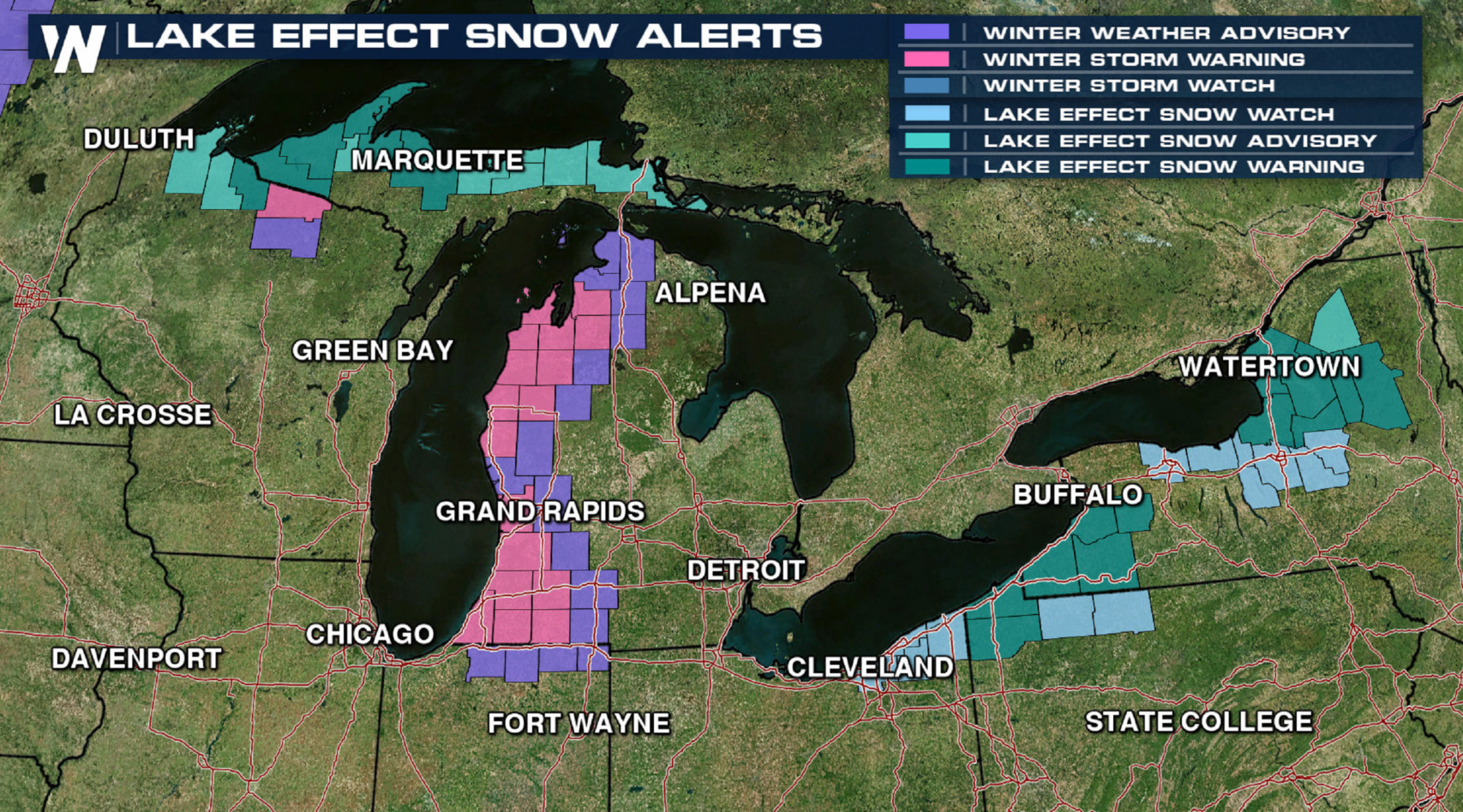
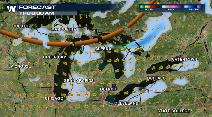
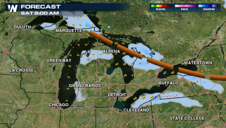
Lots of lake effect snow will be falling throughout the Great Lakes over the rest of this week. Several warnings and advisories have been issued for the lake effect snow belts. One to two feet of fresh accumulation is possible in some of the most favored locations.
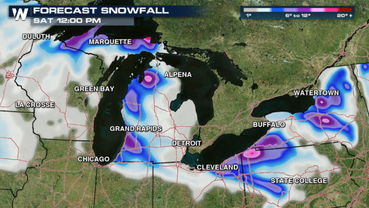
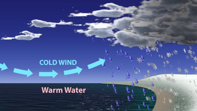
Cold air dropping down behind a low pressure center and trough will start up the lake effect snow machine tonight near Lake Superior, spreading across Lake Michigan into tomorrow morning.
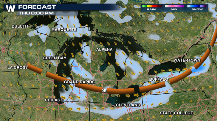
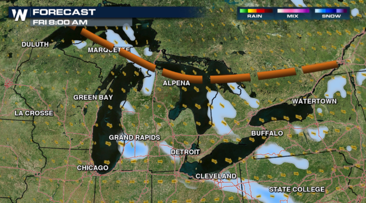
Lake Erie and Lake Ontario will become active tomorrow afternoon, producing some of the heaviest bands of snow. Snowfall rates may approach 2 to 3″ an hour in the ski country areas of New York and Pennsylvania.
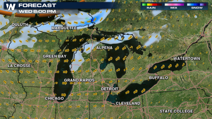
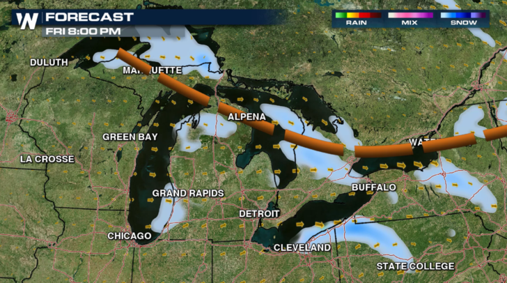
Snow squalls will continue Friday night into Saturday morning, but start to diminish Saturday afternoon with warmer temperatures arriving and a wind direction shift ahead of a low pressure system in the Upper Midwest.
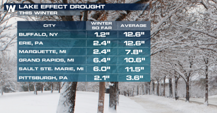
The lake effect season has started off slowly this year, with most locations well below average for the current time. That will be changing quickly with the heavy snow that is expected this week.
For WeatherNation: Meteorologist Mace Michaels