Marginal Severe Storm Risk in the Southeast Today
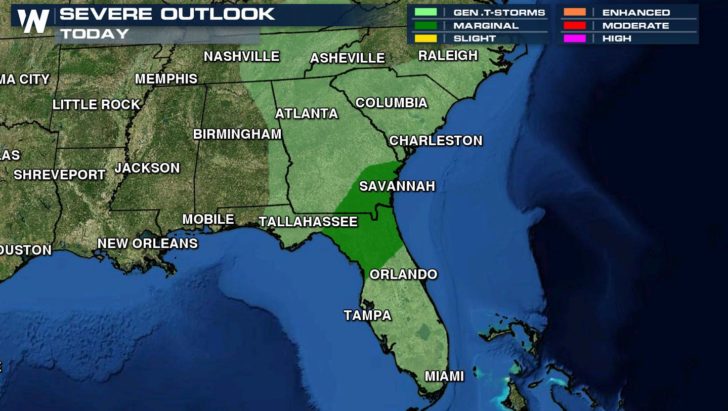
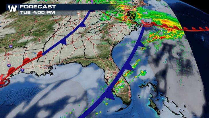
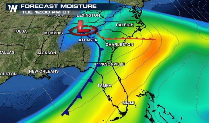
As a cold front drops through the Southeast, isolated severe storms are possible. The Storm Prediction Center has areas of Florida and Georgia under a marginal risk.
6:47am CST #SPC Day1 Outlook Marginal Risk: over parts of southern georgia and … https://t.co/GtEvHPMjG6 pic.twitter.com/BsPS6ncnKB
— NWS SPC (@NWSSPC) December 6, 2016
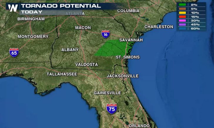
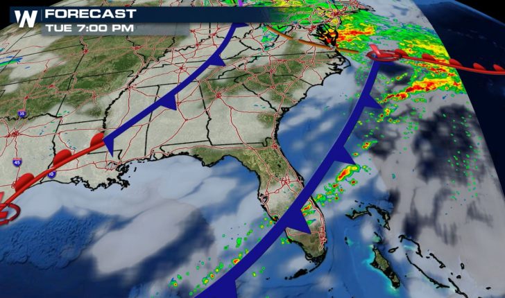
There is a small risk for tornadoes and high wind gusts with the storms. As upper level energy shifts into the Northern U.S. away from the front, the severe chances will be diminishing later this afternoon.
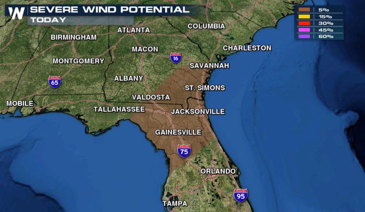
Strong storms are possible through midday along the coast from North Carolina to Florida. As the front shifts east, most of the storms will be focused in Florida.
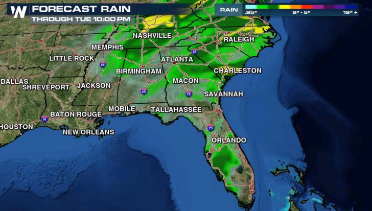
Heavy rain is a concern with some of the storms. Flooding was reported earlier this morning around Jacksonville as storms were moving through that area. More than 3″ to 6″ of rain fell yesterday in parts of South Georgia and North Florida.
Selected rainfall totals thus far across southeast Georgia and northeast Florida as of 10 AM Tuesday #flwx #gawx #jaxwx pic.twitter.com/WyquLd4CWw
— NWS Jacksonville (@NWSJacksonville) December 6, 2016

Some minor street flooding seen on Jacksonville's Southside after torrential thunderstorms pic.twitter.com/FSVYpBPuf1
— Dan Scanlan (@scanlan_dan) December 6, 2016
#Florida #Flooding:
After more than 4 inches of #rain fell, Pensacola area roads were waterlogged Monday! pic.twitter.com/5wfYP5z5Ut— WeatherNation (@WeatherNation) December 6, 2016
With humidity levels staying high, storms may produce localized flooding into this afternoon with heavy rainfall totals.
For WeatherNation: Meteorologist Mace Michaels